

Plan Your Land For Profit and Purpose
Turn your property into a long-term environmental and financial asset through strategic carbon planning.
Why Planning Matters
Not all land qualifies for carbon credits — and small mistakes can cost thousands. Our planning process
identifies which areas are already eligible, how to plan your planting for carbon eligibility, and how to integrate native
restoration into your broader farm or land-use goals.
-
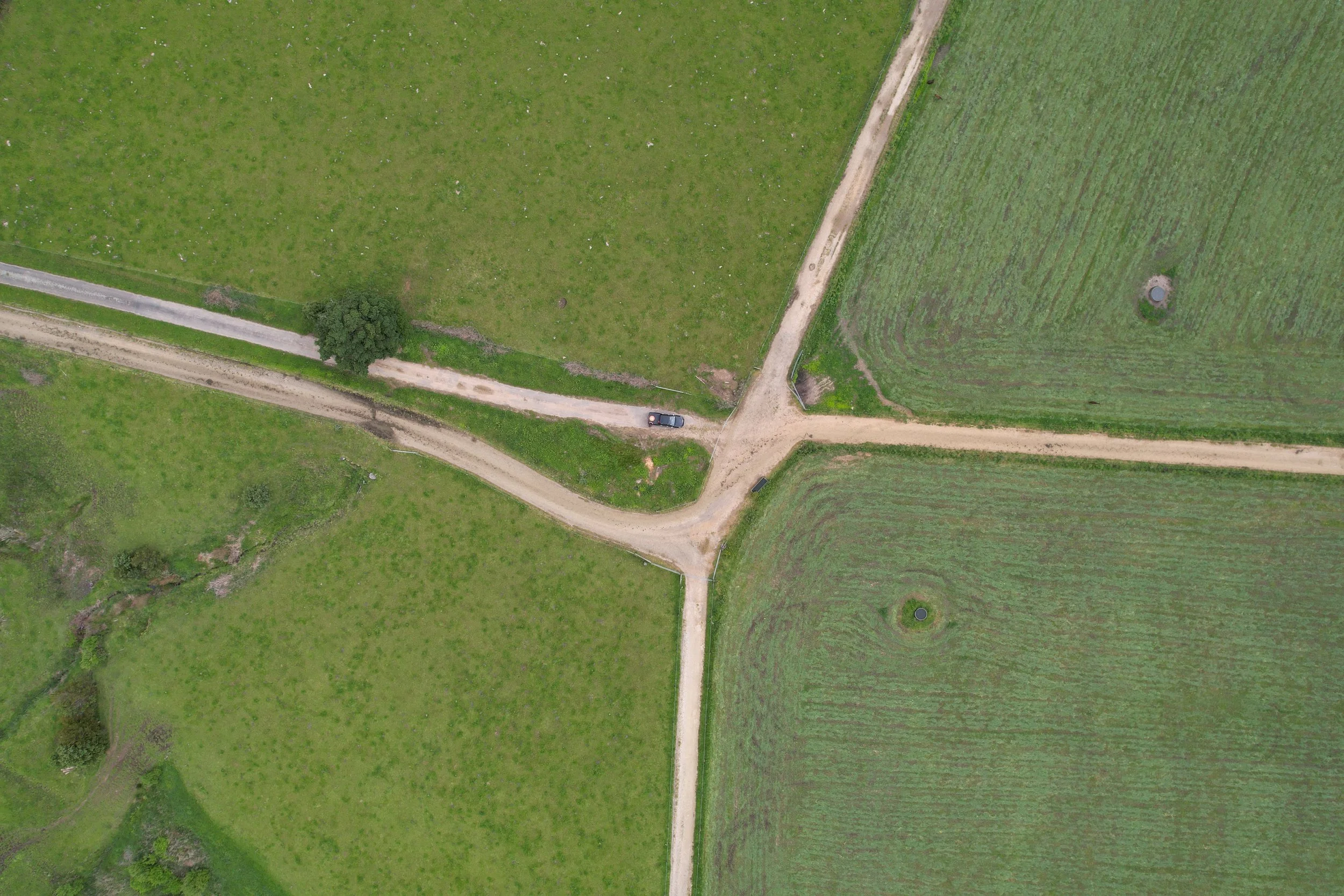
1. Map
Use aerial imagery, drone data, and GIS analysis to map your land precisely and identify the areas best suited for land-use change. This establishes the foundations for the project.
-
2. Model
We run detailed models on the planned land-use change areas and adjust for ETS eligibility, then project long-term carbon income and how this can be used to fund the project. This gives you clear scenarios for the value your land use change could generate.
-
3. Manage
We create a practical pathway that turns the model into action — including registration requirements, planting strategies (where needed), and ongoing monitoring and management to maintain eligibility over time.
Tools & Technology
From drone surveys to advanced carbon stock modeling, our tools remove the guesswork. Every recommendation is grounded in data, tailored to your land, and ready to deliver measurable results.

“This process has really helped us to look at the farm in a new way and gain clarity on where we’re heading. It’s about environmental responsibility for us, and leaving a better farm for our kids.”
— R Taylor
Results That Matter
Across New Zealand, our clients have retired hundreds of hectares, earning meaningful returns while improving their farming system, biodiversity and water quality.
